N55 Ballinagh Traffic Relief Scheme
The N55 Ballinagh Traffic Relief Scheme considers approximately 5km of the N55 through Ballinagh. It commences approximately 2.5km south of the junction between the N55 and R154 Crossdoney - Kilnaleck road in the townland of Garrymore and extends to north of Cashel Cross some 2.5km north of the same junction in the townland of Cashel as shown in Figure 1-1 below.

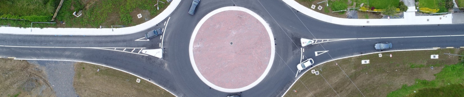
Much of this section is sub-standard in terms of horizontal and vertical alignment, and visibility. Despite this being a critical national secondary road, the N55 is subject to a stop controlled staggered T junction, with the R154 having priority in the centre of Ballinagh. Ballinagh town and its environs experiences a level of both local and through traffic using the N55 that contributes to congestion within the town, which is compounded by the relatively large number of Heavy Goods Vehicles (HGVs) passing through the town and making deliveries within the town. This has contributed to poor safety and an unattractive environment for non-motorised users, in particular vulnerable road users (VRUs).
Scheme Progress:
In 2023, Cavan County Council, in association with Transport Infrastructure Ireland (TII), commenced development of a new project for the N55 through Ballinagh and its environs, in accordance with TII’s Project Management Guidelines.
In 2024 Sweco Ireland Ltd. was appointed as Technical Advisor to Cavan County Council and is progressing the development of the N55 Ballinagh Traffic Relief Scheme to deliver a sustainable transport solution for the problems identified along the N55 through Ballinagh Town and its environs.
The Scheme is currently in Phase 1 of Project Development (Concept and Feasibility) and the current commission is to bring the project through the Planning and Design Phases, 1 to 4 of the TII Project Management Guidelines.
The Scheme is anticipated to progress to Phase 2 in 2025 when Public Consultation will be undertaken as part of the Options Selection Phase. Traffic Surveys in and around Ballinagh are scheduled to be carried out in early April 2025 as part of the data collection required to inform the Options Selection phase of project development.
The N55 Route:
The N55 National Secondary Route is approximately 80km in length, commencing from its junction with the N3 national primary road on the edge of Cavan Town, passing through the settlements of Ballinagh, Granard, Edgeworthstown, and Ballymahon before terminating at junction 10 on the N6 northeast of Athlone Town. The N55 passes through the counties of Cavan, Longford and Westmeath.
The N55 corridor links the Athlone Regional Centre to Cavan Town and onwards via the N3 to Enniskillen. The N55 route also connects the N3, N4/N5 and N6 national primary routes which form part of the EU TEN-T Comprehensive Road Network.
The existing route through County Cavan has been subject to numerous road improvement projects throughout the years. The N55 Corduff to South of Killydoon Section A scheme to the south of Ballinagh town (3.2km realignment at 2 distinct locations) was opened in 2018, while the main construction contract on Section B (3.7km realignment between Ballytrust and Mullahoran) was substantially complete in December 2024. The Section B project completed the rural road upgrades between Cavan town and the county border with Longford, with the section of N55 under consideration being the missing link on the N55 between Cavan town and the Longford border.